Bank nearby saubhagya co op bank
Sri Lanka
Bank nearby saubhagya co op bank
saubhagya co op bank
Moronthota Sri Lanka
contacts phone
:
+94
Latitude:
7.1747854
, Longitude:
80.3621481
read more
nearest Bank
6 m
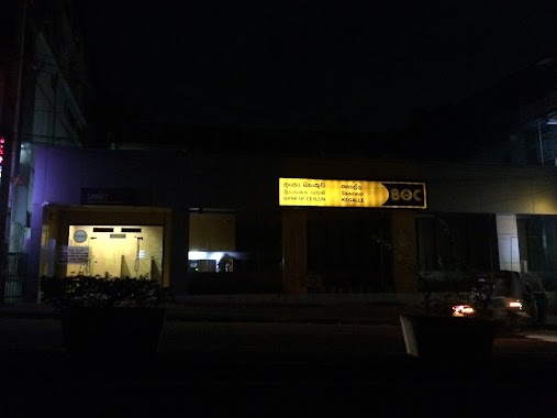
Bank of Ceylon Morontota Branch
Moronthota
Bank
read more
154 m
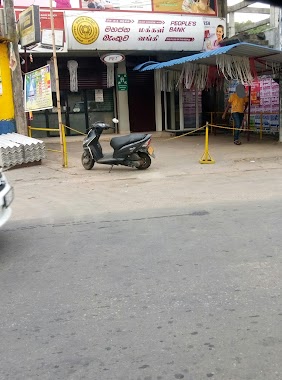
People's Bank Morontota
Kegalle-Bulathkohupitiya-Karawanella Highway, Moronthota
Bank
read more
2.018 km
Samurdhi Bank
Kegalle-Bulathkohupitiya-Karawanella Highway
Bank
read more
6.328 km
Co-operative Rural Bank (Grameeya Benkuwa)
Ganthuna
Bank
read more
6.381 km
Rural Bank Ganthuna
Ganthuna Old Town Road, Ganthuna
Bank
read more
7.692 km
Sanasa
52/2 Galigamuwa-Ruwanwella Road, Atala
Bank
read more
8.904 km
Bank of Ceylon
No 7, A1, Galigamuwa
Bank
read more
8.906 km
NDB Bank
261/1 A1, Kegalle
Bank
read more
8.911 km
Peoples Bank Kegalle Main Branch
Main Street, Kegalla
Bank
read more
8.912 km
Bank Of Ceylon- Kegalle City
681/5 Main Street, Kegalla
Bank
read more
8.973 km
BOC Super Grade Branch
Kegalle
Bank
read more
10.252 km
Bank of Ceylon
No110, , Kegalle road,, Kotiyakumbura
Bank
read more
10.596 km
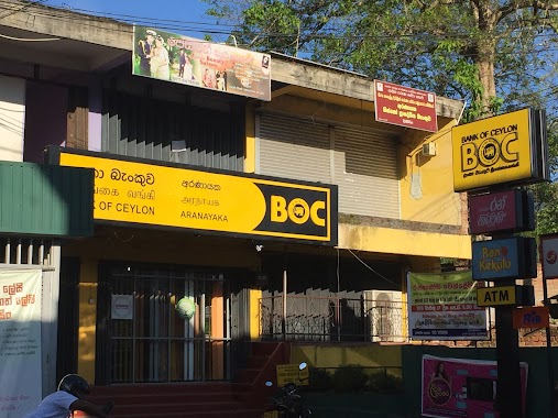
Bank of Ceylon Aranayake Branch
Mawanella-Aranayake-Horawela Road, Dippitiya
Bank
read more
10.622 km
People's Bank
Mawanella-Aranayake-Horawela Road, Dippitiya
Bank
read more
11.158 km
Sanasa Maththamagoda
Kegalle
Bank
read more
11.194 km
SCB Mawanella
Colombo - Kandy Road, Mawanella
Bank
read more
12.289 km
life Style
Udukumbura -Othnapitiya- Imbulowita Road, Udukumbura
Bank
read more
12.815 km
NSB
A1, Mawanella
Bank
read more
12.873 km
Saubhagya Co-op Bank
Mawanella
Bank
read more
13.094 km
Peoples Bank
Devalegama
Bank
read more
13.23 km
Berendina Micro Finance Institute
Nelundeniya-Alawwa Road, Nelundeniya
Bank
read more
14.59 km
People's Bank
Mawanella - Aluthnuwara Road
Bank
read more
18.766 km
Ruwanwella Rural Bank
Kegalle-Bulathkohupitiya-Karawanella Highway, Ruwanwella
Bank
read more
18.908 km
Sampath Bank
B9, Alawwa
Bank
read more
19.464 km
F.I.C.Bank
Sri Lanka
Bank
read more
📑
all categories
Accounting
Administrative area level 1
Administrative area level 2
Airport
Amusement park
Aquarium
Art gallery
Atm
Bakery
Bank
Bar
Beauty salon
Bicycle store
Book store
Bowling alley
Bus station
Cafe
Campground
Car dealer
Car rental
Car repair
Car wash
Casino
Cemetery
Church
City hall
Clothing store
Colloquial area
Convenience store
Country
Courthouse
Dentist
Department store
Doctor
Electrician
Electronics store
Embassy
Finance
Fire station
Florist
Food
Funeral home
Furniture store
Gas station
General contractor
Grocery or supermarket
Gym
Hair care
Hardware store
Health
Hindu Temple
Home goods store
Hospital
Insurance agency
Intersection
Jewelry store
Laundry
Lawyer
Library
Light rail station
Liquor store
Local government office
Locality
Locksmith
Lodging
Meal delivery
Meal takeaway
Mosque
Movie rental
Movie theater
Moving company
Museum
Natural feature
Neighborhood
Night club
Painter
Park
Parking
Pet store
Pharmacy
Physiotherapist
Place of worship
Plumber
Point of interest
Police
Political
Post office
Premise
Real estate agency
Restaurant
Roofing contractor
Route
Rv park, camping
School
Shoe store
Shopping mall
Spa
Stadium
Storage
Store
Subpremise
Supermarket
Synagogue
Taxi stand
Train station
Transit station
Travel agency
University
Veterinary care
Zoo
administrative area level 3
sublocality level 1
sublocality level 2
↑