Cafe nearby jenuly Palace
Sri Lanka
Cafe nearby jenuly Palace
jenuly Palace
Bokkawala, Sri Lanka
contacts phone
:
+94
Latitude:
7.3903065
, Longitude:
80.5487286
larger map & directions
read more
nearest Cafe
1.006 km
කුමාර අයියාගේ කඩේ
B15, Bokkawala
Cafe
read more
2.379 km
DGDN Premarathna
Poojapitiya
Cafe
read more
3.242 km
Thilak Hotel & Grocery
Galagedara
Cafe
read more
3.461 km
Deye Bojunhala By Ministry Of Agriculture
Galagedara
Cafe
read more
3.932 km
ANANDA STORES
Hedeniya - Medawela - Poojapitiya Road, Poojapitiya
Cafe
read more
4.533 km
Dissanayake Bakery
Boyagoda Sri Sugatharamaya, Katugastota-Kurunegala-Puttalam Highway, Weuda
Cafe
read more
8.411 km
New Wasana Cake
Matale Road, Ambatenna
Cafe
read more
9.086 km
Milano Hotel
Jambugahapitiya
Cafe
read more
9.093 km
STAR bake house
Cafe
read more
11.01 km
Ometh Bakers
Gannoruwa-Muruthalawa Road, Muruthalawa
Cafe
read more
11.28 km
E-Town Computers & Internet Cafe
Katugastota-Kurunegala-Puttalam Highway, Katugastota
Cafe
read more
12.966 km
Edwin Stores
Rambukkana - Mawathagama Road, Mawathagama
Cafe
read more
12.973 km
P & S Bakers
Kurunegala Road, Kandy
Cafe
read more
13.034 km
Geragama Tea Centre
Sri Lanka
Cafe
read more
13.982 km
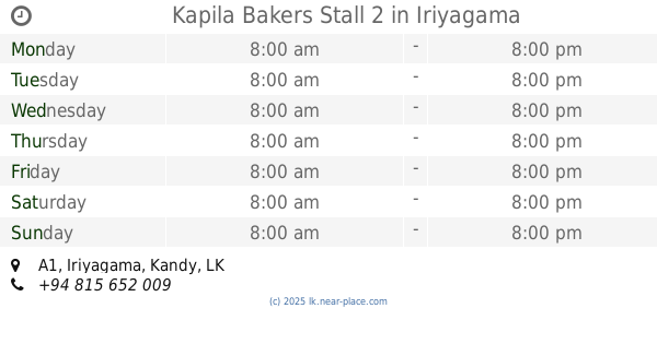
Kapila Bakers Stall 2
A1, Iriyagama
Cafe
read more
14.131 km
Delight
George E De Silva Mawatha, Kandy
Cafe
read more
14.385 km
Hela Bojun Food Stalls
Peradeniya
Cafe
read more
14.477 km
Milk Bar
Kandy
Cafe
read more
14.553 km
ROOTS
30 Sri Dalada Veediya, Kandy
Cafe
read more
14.923 km
Doughnuts party shop
Lewalla Road, Kandy
Cafe
read more
14.979 km
Kandenuwara Tea Factory
Sameera Home Road, Kandenuwara Janapadaya
Cafe
read more
15.156 km
Feelhome
Heerassagala Road, Kandy
Cafe
read more
15.311 km
Red Spice
no 77, Senpathi Parami Kulathunga Mawatha, Kandy
Cafe
read more
15.378 km
Welfare Shop
Peradeniya
Cafe
read more
17.793 km
P & S Bakers
Colombo International School, Kandy
Cafe
read more
📑
all categories
Accounting
Administrative area level 1
Administrative area level 2
Airport
Amusement park
Aquarium
Art gallery
Atm
Bakery
Bank
Bar
Beauty salon
Bicycle store
Book store
Bowling alley
Bus station
Cafe
Campground
Car dealer
Car rental
Car repair
Car wash
Casino
Cemetery
Church
City hall
Clothing store
Colloquial area
Convenience store
Country
Courthouse
Dentist
Department store
Doctor
Electrician
Electronics store
Embassy
Finance
Fire station
Florist
Food
Funeral home
Furniture store
Gas station
General contractor
Grocery or supermarket
Gym
Hair care
Hardware store
Health
Hindu Temple
Home goods store
Hospital
Insurance agency
Intersection
Jewelry store
Laundry
Lawyer
Library
Light rail station
Liquor store
Local government office
Locality
Locksmith
Lodging
Meal delivery
Meal takeaway
Mosque
Movie rental
Movie theater
Moving company
Museum
Natural feature
Neighborhood
Night club
Painter
Park
Parking
Pet store
Pharmacy
Physiotherapist
Place of worship
Plumber
Point of interest
Police
Political
Post office
Premise
Real estate agency
Restaurant
Roofing contractor
Route
Rv park, camping
School
Shoe store
Shopping mall
Spa
Stadium
Storage
Store
Subpremise
Supermarket
Synagogue
Taxi stand
Train station
Transit station
Travel agency
University
Veterinary care
Zoo
administrative area level 3
sublocality level 1
sublocality level 2
↑