Cemetery nearby General Cemetery Heenpanwila
Sri Lanka
Cemetery nearby General Cemetery Heenpanwila
General Cemetery Heenpanwila
Weliweriya - Gampaha Road, Weliweriya, Gampaha, LK Sri Lanka
contacts phone
:
+94
Latitude:
7.0410835
, Longitude:
80.0191489
larger map & directions
read more
nearest Cemetery
676 m
Roman Catholic Cemetery
132/24 B New Kandy Road, Weliweriya
Cemetery
read more
677 m
Weliweriya Christian Cemetery
Weliweriya
Cemetery
read more
735 m
cemetery - Weliveriya
132/24 B New Kandy Road, Weliweriya
Cemetery
read more
742 m
General Cemetery & Crematorium
132/24 B New Kandy Road, Weliweriya
Cemetery
read more
745 m
Weliweriya Buddhist Cemetery
Weliweriya
Cemetery
read more
1.543 km
Rathupaswala Cemetery
Sri Lanka
Cemetery
read more
3.075 km
Kirillawala Cemetery
A1, Ihala Imbulgoda
Cemetery
read more
3.646 km
Pilikuththuwa Cemetery
Gampaha
Cemetery
read more
3.692 km
St.Anne's Cemetery
Gampaha
Cemetery
read more
4.366 km
Roman Catholic Cemetery
Gampaha
Cemetery
read more
4.441 km
Bandiyamulla Cemetery
Colombo Road, Gampaha
Cemetery
read more
5.005 km
Udupila North cemetery
Udupila North
Cemetery
read more
5.468 km
Oruthota Cemetry
Gampaha
Cemetery
read more
5.634 km
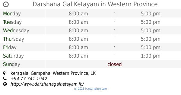
Darshana Gal Ketayam
keragala
Cemetery
read more
5.844 km
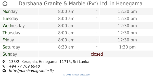
Darshana Granite & Marble (Pvt) Ltd.
133/2, Keragala, Henegama
Cemetery
read more
6.661 km
Eldeniya Cemetery
Eldeniya
Cemetery
read more
11.74 km
Yatawaththa Cemetery
Biyagama
Cemetery
read more
12.808 km
Public Cemetery - Kirindiwela
Gampaha
Cemetery
read more
13.066 km
Public Cemetery
Wathupitiwala
Cemetery
read more
13.167 km
Veyangoda Cemetery
Veyangoda
Cemetery
read more
13.906 km
Kapuwatta General Cemetery
Ja-Ela
Cemetery
read more
14.206 km
Bollathawa Cemetery
Bollathawa
Cemetery
read more
14.305 km
Catholic Cemetery
Peliyagoda
Cemetery
read more
14.669 km
Himbutuwelgoda Cemetery
Peliyagoda
Cemetery
read more
19.821 km
Public Cemetery - Bomunuwa
Bomunuwa
Cemetery
read more
📑
all categories
Accounting
Administrative area level 1
Administrative area level 2
Airport
Amusement park
Aquarium
Art gallery
Atm
Bakery
Bank
Bar
Beauty salon
Bicycle store
Book store
Bowling alley
Bus station
Cafe
Campground
Car dealer
Car rental
Car repair
Car wash
Casino
Cemetery
Church
City hall
Clothing store
Colloquial area
Convenience store
Country
Courthouse
Dentist
Department store
Doctor
Electrician
Electronics store
Embassy
Finance
Fire station
Florist
Food
Funeral home
Furniture store
Gas station
General contractor
Grocery or supermarket
Gym
Hair care
Hardware store
Health
Hindu Temple
Home goods store
Hospital
Insurance agency
Intersection
Jewelry store
Laundry
Lawyer
Library
Light rail station
Liquor store
Local government office
Locality
Locksmith
Lodging
Meal delivery
Meal takeaway
Mosque
Movie rental
Movie theater
Moving company
Museum
Natural feature
Neighborhood
Night club
Painter
Park
Parking
Pet store
Pharmacy
Physiotherapist
Place of worship
Plumber
Point of interest
Police
Political
Post office
Premise
Real estate agency
Restaurant
Roofing contractor
Route
Rv park, camping
School
Shoe store
Shopping mall
Spa
Stadium
Storage
Store
Subpremise
Supermarket
Synagogue
Taxi stand
Train station
Transit station
Travel agency
University
Veterinary care
Zoo
administrative area level 3
sublocality level 1
sublocality level 2
↑