Gym nearby Suhada Sports Club Nugagoda
Sri Lanka
Gym nearby Suhada Sports Club Nugagoda
Suhada Sports Club Nugagoda
Panapitiya Road, Wadduwa Sri Lanka
contacts phone
:
+94
Latitude:
6.6361442
, Longitude:
79.9544013
read more
nearest Gym
2.41 km
Kumara Yoga Ashram
No 61 Chamli Pura Road Moronthuduwa Sri Lanka, Wadduwa
Gym
read more
2.797 km
White Ball Cricket Academy
Wadduwa
Gym
read more
3.191 km
Buddhi recreation center
Sri Lanka
Gym
read more
3.202 km
Haritha Gym
Waskaduwa - Bandaragama Road
Gym
read more
4.678 km
VNV Life Fitness World
422 Colombo - Galle Main Road, Kalutara
Gym
read more
4.931 km
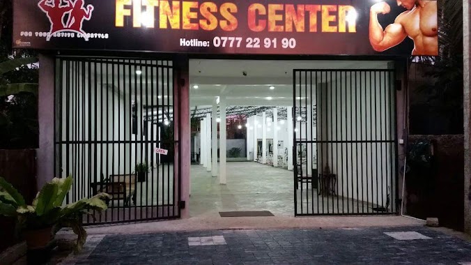
Egal Fitness Centre
Sri Lanka
Gym
read more
4.931 km
Egal Fitness Centre
Thekkawatta
Gym
read more
6.598 km
Fitness Land Health Care
Pinwatta West, Panadura
Gym
read more
7.523 km
Life Fitnes
Horana Road, Panadura
Gym
read more
7.896 km
Power Fitness Center
Panadura
Gym
read more
7.981 km
Naturub Fitness Center
Diyasegama Model Village Road, Panadura
Gym
read more
8.798 km
Indika Fitness Center
681 Galle Road, Panadura
Gym
read more
9.424 km
Body Factory Fitness Center
Waskaduwa - Bandaragama Road, Bandaragama
Gym
read more
9.755 km
Healthy Fit Fitness Center
Ratnapura - Horana - Panadura Highway, Bandaragama
Gym
read more
9.816 km
Sushila Fitness Kingdom
Panadura
Gym
read more
10.194 km
The Gold Gym
385/2/1 Galle Road, Panadura
Gym
read more
10.617 km
Power World Gym
Colombo - Galle Main Road, Panadura
Gym
read more
10.624 km
Power World Panadura
Power World, panadura, Galle Road, Panadura
Gym
read more
10.637 km
Image Gym
322 Galle Road, Panadura
Gym
read more
10.711 km
The Gym Health & Fitness Center
Galle Road, Panadura
Gym
read more
13.351 km
mukshid
Jaya Mawatha, Panadura
Gym
read more
13.388 km
New Life Fitness
Pokunuwita
Gym
read more
13.779 km
flex Gym
Ayuruweda Road
Gym
read more
15.838 km
Master Fitness Academy
450 Ratnapura - Horana - Panadura Highway, Horana
Gym
read more
15.907 km
World Of Weights
Moratuwa
Gym
read more
📑
all categories
Accounting
Administrative area level 1
Administrative area level 2
Airport
Amusement park
Aquarium
Art gallery
Atm
Bakery
Bank
Bar
Beauty salon
Bicycle store
Book store
Bowling alley
Bus station
Cafe
Campground
Car dealer
Car rental
Car repair
Car wash
Casino
Cemetery
Church
City hall
Clothing store
Colloquial area
Convenience store
Country
Courthouse
Dentist
Department store
Doctor
Electrician
Electronics store
Embassy
Finance
Fire station
Florist
Food
Funeral home
Furniture store
Gas station
General contractor
Grocery or supermarket
Gym
Hair care
Hardware store
Health
Hindu Temple
Home goods store
Hospital
Insurance agency
Intersection
Jewelry store
Laundry
Lawyer
Library
Light rail station
Liquor store
Local government office
Locality
Locksmith
Lodging
Meal delivery
Meal takeaway
Mosque
Movie rental
Movie theater
Moving company
Museum
Natural feature
Neighborhood
Night club
Painter
Park
Parking
Pet store
Pharmacy
Physiotherapist
Place of worship
Plumber
Point of interest
Police
Political
Post office
Premise
Real estate agency
Restaurant
Roofing contractor
Route
Rv park, camping
School
Shoe store
Shopping mall
Spa
Stadium
Storage
Store
Subpremise
Supermarket
Synagogue
Taxi stand
Train station
Transit station
Travel agency
University
Veterinary care
Zoo
administrative area level 3
sublocality level 1
sublocality level 2
↑