Health nearby Maternal and Children Clinic
Sri Lanka
Health nearby Maternal and Children Clinic
Maternal and Children Clinic
Ja-Ela, Sri Lanka
contacts phone
:
+94
Latitude:
7.0721381
, Longitude:
79.9147868
larger map & directions
read more
nearest Health
1.38 km
Family health care - Dr. Darshana Mohotti
Ja-Ela
Health
read more
1.893 km
Samarasinghe Medical Laboratory
Mudranala Waththa, Ja-Ela
Health
read more
2.089 km
Anton Home for the Elders
Dharmapala Mawatha, Ja-Ela
Health
read more
2.284 km
Maternity & Child Clinic Batuwatta
Batuwatta
Health
read more
2.335 km
Care Medical Clinic
Puttalam - Colombo Road, Ja-Ela
Health
read more
2.344 km
Digasiri Clinic
Ja-Ela
Health
read more
2.491 km
Vision Care
K-Zone, A3, Ja-Ela
Health
read more
2.512 km
Lanka Hospital Pharmacy
K-zone, Kapuwatta, Ja-Ela
Health
read more
2.554 km
ST. Luke Medi Clinic
Ja-Ela
Health
read more
2.61 km
Jude Family Clinic
Kandana
Health
read more
2.62 km
Christu Center
Weligampitiya Church Road, Ja-Ela
Health
read more
2.63 km
HNC Medical Laboratory
Cinnamon Garden Road, Ja-Ela
Health
read more
2.649 km
Asiri Laboratories Collection Centre
67, Gamini Road,, Ja-Ela
Health
read more
2.769 km
Westen Optical
No.66, Old Negambo Road, Ja-Ela
Health
read more
2.884 km
Dr:Hemantha Wicramasinha
Vishakawaththa 3rd Lane, Ja-Ela
Health
read more
2.913 km
Thilina Pharmacy
Ja-Ela
Health
read more
2.989 km
Archdiocesan Family Apostolate Centry
Ja-Ela
Health
read more
2.997 km
Kandana Chemist
Station Road, Kandana
Health
read more
3.172 km
Rawana Asapuwa
276 Ganemulla Road, Welesara
Health
read more
3.214 km
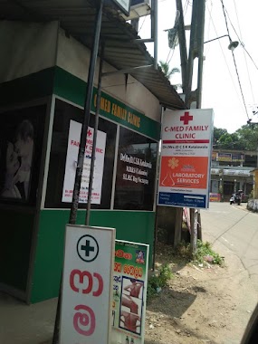
C-MED Family Clinic
Narangoda Paluwa
Health
read more
3.261 km
Malewana Methsuwa Ayurveda Osusala
263 Station Road, Kandana
Health
read more
3.283 km
Dr. K.M. Chandrasekara
99/59 DRO Road, Kandana
Health
read more
3.313 km
Itech Opticals
Kandana
Health
read more
3.584 km
Maternity and Child Clinic
Kandana
Health
read more
5.879 km
Amila වෙදමහත්තයා (Mahathaya)
Gampaha
Health
read more
📑
all categories
Accounting
Administrative area level 1
Administrative area level 2
Airport
Amusement park
Aquarium
Art gallery
Atm
Bakery
Bank
Bar
Beauty salon
Bicycle store
Book store
Bowling alley
Bus station
Cafe
Campground
Car dealer
Car rental
Car repair
Car wash
Casino
Cemetery
Church
City hall
Clothing store
Colloquial area
Convenience store
Country
Courthouse
Dentist
Department store
Doctor
Electrician
Electronics store
Embassy
Finance
Fire station
Florist
Food
Funeral home
Furniture store
Gas station
General contractor
Grocery or supermarket
Gym
Hair care
Hardware store
Health
Hindu Temple
Home goods store
Hospital
Insurance agency
Intersection
Jewelry store
Laundry
Lawyer
Library
Light rail station
Liquor store
Local government office
Locality
Locksmith
Lodging
Meal delivery
Meal takeaway
Mosque
Movie rental
Movie theater
Moving company
Museum
Natural feature
Neighborhood
Night club
Painter
Park
Parking
Pet store
Pharmacy
Physiotherapist
Place of worship
Plumber
Point of interest
Police
Political
Post office
Premise
Real estate agency
Restaurant
Roofing contractor
Route
Rv park, camping
School
Shoe store
Shopping mall
Spa
Stadium
Storage
Store
Subpremise
Supermarket
Synagogue
Taxi stand
Train station
Transit station
Travel agency
University
Veterinary care
Zoo
administrative area level 3
sublocality level 1
sublocality level 2
↑