Health nearby Maternity and Child Clinic
Sri Lanka
Health nearby Maternity and Child Clinic
Maternity and Child Clinic
Kandana, Sri Lanka
contacts phone
:
+94
Latitude:
7.048884
, Longitude:
79.8922878
larger map & directions
read more
nearest Health
457 m
Itech Opticals
Kandana
Health
read more
653 m
Malewana Methsuwa Ayurveda Osusala
263 Station Road, Kandana
Health
read more
856 m
Rawana Asapuwa
276 Ganemulla Road, Welesara
Health
read more
963 m
Nawaloka Laboratory Service
Ragama
Health
read more
1.021 km
Suriya Surgicals
Ragama
Health
read more
1.032 km
Jude Family Clinic
Kandana
Health
read more
1.035 km
Kandana Chemist
Station Road, Kandana
Health
read more
1.055 km
Dr. K.M. Chandrasekara
99/59 DRO Road, Kandana
Health
read more
1.325 km
Vision Care
K-Zone, A3, Ja-Ela
Health
read more
1.351 km
Lanka Hospital Pharmacy
K-zone, Kapuwatta, Ja-Ela
Health
read more
1.685 km
ST. Luke Medi Clinic
Ja-Ela
Health
read more
1.982 km
Christu Center
Weligampitiya Church Road, Ja-Ela
Health
read more
2.137 km
Care Medical Clinic
Puttalam - Colombo Road, Ja-Ela
Health
read more
2.244 km
Digasiri Clinic
Ja-Ela
Health
read more
2.402 km
Pharmacy
Peralanda, Ragama
Health
read more
2.402 km
Pharmacy
Linton Ground Road, Ragama
Health
read more
2.404 km
Dr. Sunil's Medical Centre
Peralanda Road, Ragama
Health
read more
2.405 km
Synergy Rehabilitation and Prosthetics
472, 5 Negombo Road, Welisara
Health
read more
2.406 km
Dr. Sunill's Dispensary
Welesara
Health
read more
2.673 km
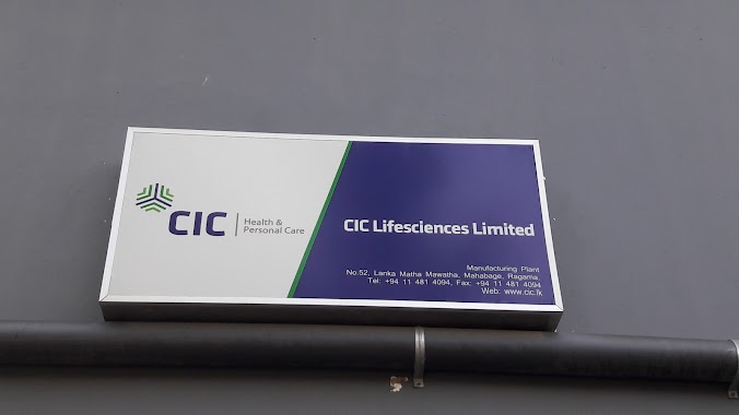
CIC Lifesciences Factory
52 Lanka Matha Mawatha, Welisara
Health
read more
2.716 km
Dr.Dayani Perera
Ragama
Health
read more
3.012 km
Family Clinic Dr. Sujeewa Amarasekera
Jayasrigama Road, Ragama
Health
read more
3.584 km
Maternal and Children Clinic
Ja-Ela
Health
read more
3.689 km
Family health care - Dr. Darshana Mohotti
Ja-Ela
Health
read more
4.958 km
Bopitiya Osusala
Bopitiya
Health
read more
📑
all categories
Accounting
Administrative area level 1
Administrative area level 2
Airport
Amusement park
Aquarium
Art gallery
Atm
Bakery
Bank
Bar
Beauty salon
Bicycle store
Book store
Bowling alley
Bus station
Cafe
Campground
Car dealer
Car rental
Car repair
Car wash
Casino
Cemetery
Church
City hall
Clothing store
Colloquial area
Convenience store
Country
Courthouse
Dentist
Department store
Doctor
Electrician
Electronics store
Embassy
Finance
Fire station
Florist
Food
Funeral home
Furniture store
Gas station
General contractor
Grocery or supermarket
Gym
Hair care
Hardware store
Health
Hindu Temple
Home goods store
Hospital
Insurance agency
Intersection
Jewelry store
Laundry
Lawyer
Library
Light rail station
Liquor store
Local government office
Locality
Locksmith
Lodging
Meal delivery
Meal takeaway
Mosque
Movie rental
Movie theater
Moving company
Museum
Natural feature
Neighborhood
Night club
Painter
Park
Parking
Pet store
Pharmacy
Physiotherapist
Place of worship
Plumber
Point of interest
Police
Political
Post office
Premise
Real estate agency
Restaurant
Roofing contractor
Route
Rv park, camping
School
Shoe store
Shopping mall
Spa
Stadium
Storage
Store
Subpremise
Supermarket
Synagogue
Taxi stand
Train station
Transit station
Travel agency
University
Veterinary care
Zoo
administrative area level 3
sublocality level 1
sublocality level 2
↑