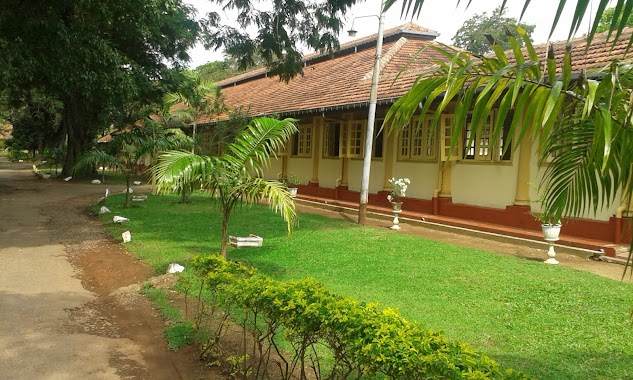
Hospital nearby Browns Hospital
Sri Lanka
Hospital nearby Browns Hospital
Browns Hospital
Ragama Road, Ragama, Gampaha, LK Sri Lanka
contacts phone
:
+94 115 714 714
website:
www.brownshospitals.com
Latitude:
7.0277968
, Longitude:
79.9206192
larger map & directions
read more
nearest Hospital
264 m
Jmo's Office
UDA Road, Ragama
Hospital
read more
328 m
North Colombo Teaching Hospital Ragama
Hospital Inner Road, Ragama
Hospital
read more
380 m
Colombo North Teaching Hospital - Ragama
North Teaching Hospital, කොළඹ
Hospital
read more
406 m
Colombo North Teaching Hospital
Hospital Inner Road, Ragama
Hospital
read more
423 m
RVS
Gampaha
Hospital
read more
423 m
Colombo North Teaching Hospital, Ragama
Ragama
Hospital
read more
425 m
OPD, Clinic
Ragama
Hospital
read more
470 m
Ranawiru Sewana-Army Hospital
Sri Lanka
Hospital
read more
476 m
Leesons Hospital
33, Thewatta Road, Ragama
Hospital
read more
489 m
Colombo North Teaching Hospital
Colombo
Hospital
read more
489 m
Colombo North Teaching Hospital
Kolombo
Hospital
read more
518 m
Oral, Maxillofacial and Dental Clinic/ Channeling Center
Thewatta Road, Ragama
Hospital
read more
524 m
Rheumatology and Rehabitation Hospital
Rehabiltation Hospital Road
Hospital
read more
587 m
Suwasarana Hospital
769/A, Thewatte Road, Ragama
Hospital
read more
661 m
Rehabilitation Hospital Ragama
Gampaha
Hospital
read more
811 m
MDT Unit, Ragama Medical Fauculty
Faculty Lane, Ragama
Hospital
read more
839 m
Rehabilitation hospital Quats
Gampaha
Hospital
read more
844 m
Osumadura Ayurvedic
B13, Batuwatta
Hospital
read more
856 m
Liver Transplantation Service
Annasihena Road, Ragama
Hospital
read more
951 m
Sethumsa Treatment Center
06, Peralanda Road, Ragama
Hospital
read more
1.121 km
Ragama Ayurveda Medical Center
No. 836/A, Thewatta Road, Ragama
Hospital
read more
1.134 km
Medical Centre
Ragama
Hospital
read more
1.795 km
Sethro Medical Center
295/4, Delpe junction, Kadawata Road, Ragama, B13
Hospital
read more
2.12 km
Suwa Piyasa Family Care
Jayasrigama Road, Ragama
Hospital
read more
2.468 km
General Hospital Aniyakanda
Aniyakanda Road, Kandana
Hospital
read more
📑
all categories
Accounting
Administrative area level 1
Administrative area level 2
Airport
Amusement park
Aquarium
Art gallery
Atm
Bakery
Bank
Bar
Beauty salon
Bicycle store
Book store
Bowling alley
Bus station
Cafe
Campground
Car dealer
Car rental
Car repair
Car wash
Casino
Cemetery
Church
City hall
Clothing store
Colloquial area
Convenience store
Country
Courthouse
Dentist
Department store
Doctor
Electrician
Electronics store
Embassy
Finance
Fire station
Florist
Food
Funeral home
Furniture store
Gas station
General contractor
Grocery or supermarket
Gym
Hair care
Hardware store
Health
Hindu Temple
Home goods store
Hospital
Insurance agency
Intersection
Jewelry store
Laundry
Lawyer
Library
Light rail station
Liquor store
Local government office
Locality
Locksmith
Lodging
Meal delivery
Meal takeaway
Mosque
Movie rental
Movie theater
Moving company
Museum
Natural feature
Neighborhood
Night club
Painter
Park
Parking
Pet store
Pharmacy
Physiotherapist
Place of worship
Plumber
Point of interest
Police
Political
Post office
Premise
Real estate agency
Restaurant
Roofing contractor
Route
Rv park, camping
School
Shoe store
Shopping mall
Spa
Stadium
Storage
Store
Subpremise
Supermarket
Synagogue
Taxi stand
Train station
Transit station
Travel agency
University
Veterinary care
Zoo
administrative area level 3
sublocality level 1
sublocality level 2
↑