Lodging nearby Benthara Hotel
Sri Lanka
Lodging nearby Benthara Hotel
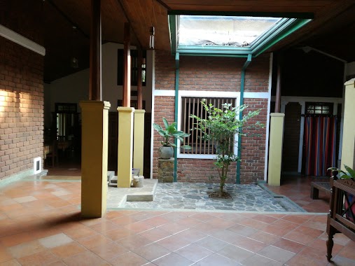
Benthara Hotel
Miriswatta, Gampaha, Sri Lanka
contacts phone
:
+94
Latitude:
7.0702323
, Longitude:
80.014104
larger map & directions
read more
nearest Lodging
169 m
Madu Thushari hotel
A1, Gampaha
Lodging
read more
553 m
Fern Shade Reception Hall
Wathurugama Road, Gampaha
Lodging
read more
993 m
Canopy Forest Bungalow
Gampaha
Lodging
read more
1.055 km
Hotel Dhanalee
66 New Kandy Road, Balummahara
Lodging
read more
1.109 km
Hotel Tayaro King
4th Lane, Werellawaththa,Yakkala, Gampaha
Lodging
read more
1.176 km
Hansagiri House
305/5/1 Hansagiri Rd, Gampaha
Lodging
read more
1.257 km
Cinnamon Fort Banquet
Godagedara,, Mudungoda
Lodging
read more
1.343 km
Silver Ring Village Hotel
Gampaha
Lodging
read more
1.886 km
Wps Rathnasiri
hansagiri rd, 50a/61 7th Lane, Gampaha
Lodging
read more
1.899 km
The Orchard Inn
77/5, Samanabadde, Thiththapaththara
Lodging
read more
2.029 km
Roshan
76 a suwarna jayanthi mawatha siyana para, ගම්පහ
Lodging
read more
2.468 km
Ruwan Karunaratne
12/1, Suhada Mawatha, Yakkala
Lodging
read more
2.488 km
Sisila Hotel
Sri Lanka
Lodging
read more
2.488 km
Sisila Hotel
Lodging
read more
2.488 km
Sisila Hotel
20 Kanthi Road, Gampaha
Lodging
read more
2.512 km
Hotel Chathumedura Village Inn
258/1,, Ihala Yagoda, Imbulgoda
Lodging
read more
2.594 km
Jayoda Hotel
Sri Lanka
Lodging
read more
2.654 km
Saketha
Gampaha
Lodging
read more
2.705 km
S.A.N Subasinghe
No.117, Yakkala
Lodging
read more
2.802 km
Hotel Asela- Reception Hall
Yakkala - Radawana Road, Yakkala
Lodging
read more
2.98 km
Sathhada Reception Hall
1d, Bemmulla
Lodging
read more
3.078 km
Rest Inn
Gampaha
Lodging
read more
3.221 km
Gampaha Night Hotel
Bauddhaloka Mawatha, Gampaha
Lodging
read more
3.572 km
Hansa Village Hotel
Ja Ela-Ekala-Gampaha-Yakkala Highway
Lodging
read more
3.736 km
UAC Car Care Center
9F A33, Gampaha
Lodging
read more
📑
all categories
Accounting
Administrative area level 1
Administrative area level 2
Airport
Amusement park
Aquarium
Art gallery
Atm
Bakery
Bank
Bar
Beauty salon
Bicycle store
Book store
Bowling alley
Bus station
Cafe
Campground
Car dealer
Car rental
Car repair
Car wash
Casino
Cemetery
Church
City hall
Clothing store
Colloquial area
Convenience store
Country
Courthouse
Dentist
Department store
Doctor
Electrician
Electronics store
Embassy
Finance
Fire station
Florist
Food
Funeral home
Furniture store
Gas station
General contractor
Grocery or supermarket
Gym
Hair care
Hardware store
Health
Hindu Temple
Home goods store
Hospital
Insurance agency
Intersection
Jewelry store
Laundry
Lawyer
Library
Light rail station
Liquor store
Local government office
Locality
Locksmith
Lodging
Meal delivery
Meal takeaway
Mosque
Movie rental
Movie theater
Moving company
Museum
Natural feature
Neighborhood
Night club
Painter
Park
Parking
Pet store
Pharmacy
Physiotherapist
Place of worship
Plumber
Point of interest
Police
Political
Post office
Premise
Real estate agency
Restaurant
Roofing contractor
Route
Rv park, camping
School
Shoe store
Shopping mall
Spa
Stadium
Storage
Store
Subpremise
Supermarket
Synagogue
Taxi stand
Train station
Transit station
Travel agency
University
Veterinary care
Zoo
administrative area level 3
sublocality level 1
sublocality level 2
↑