Lodging nearby Chalet's Hotel
Sri Lanka
Lodging nearby Chalet's Hotel
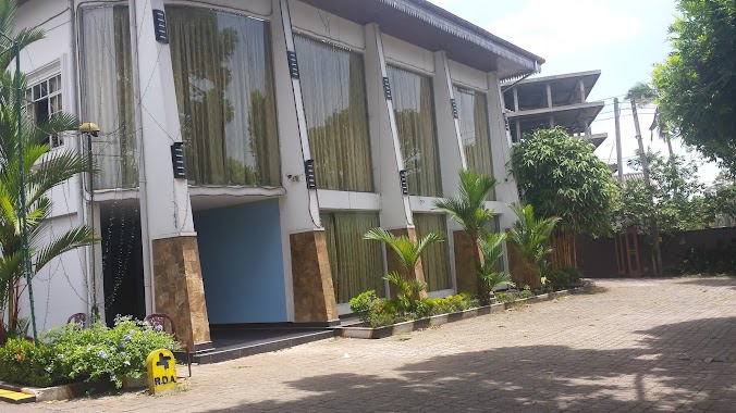
Chalet's Hotel
Gampaha, Sri Lanka
contacts phone
:
+94
Latitude:
7.0787586
, Longitude:
80.1840608
larger map & directions
read more
nearest Lodging
2.185 km
Saubhagya Hotel
Veyangoda Nittambuwa - Ruwanwella Road
Lodging
read more
4.232 km
Hotel Omik
Lodging
read more
4.232 km
Hotel Omik
Sri Lanka
Lodging
read more
4.644 km
Vijitha Sewana
Wahakula pansala, B445, Ruwanwella
Lodging
read more
4.808 km
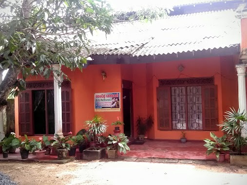
NILOYA RESORT
Kegalle
Lodging
read more
5.178 km
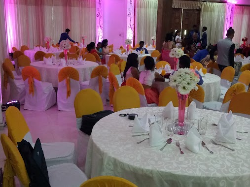
Royal Dream Palace
Gampaha
Lodging
read more
5.181 km
Hotel Dinara & Reception Hall
No:295/B/2,Nittambuwa- Ruwanwella Road, Urapola ,Nittambuwa ,Srilanaka.
Lodging
read more
5.648 km
Legacy Lanka
405/4, Diyaaddara, Attanagalla, Attanagalla
Lodging
read more
5.678 km
Leaf Leisure
Mahalla, Ruwanwella
Lodging
read more
8.528 km
Hotel Star Garden
15th KM Post, Meddegama, Hanwella Road
Lodging
read more
8.604 km
Wijayanandana Hotel & Bakary
B457, Ruwanwella
Lodging
read more
8.711 km
Paradise Inn
Gampaha
Lodging
read more
11.617 km
Hotel Nethsarani
Nittambuwa
Lodging
read more
12.512 km
Lebba Hotel
Lodging
read more
12.752 km
Hotel Camellia Rose
188/1, Minuwangoda Road,, Nittambuwa
Lodging
read more
13.122 km
Amaana Hotel
Yatiyanthota - Magammana Road
Lodging
read more
13.165 km
Best One Hotel
Lodging
read more
13.608 km
Thrimalee Reception Hall
Yakkala - Radawana Road
Lodging
read more
13.646 km
Lihini Gest House
Ihala Thalduwa Sri Isipathanaramaya, Avissawella-Hatton-Nuwara Eliya Highway, Talduwa
Lodging
read more
13.761 km
Nugasewana Hotel
Sri Lanka
Lodging
read more
14.678 km
Hotel Rays Lanka
2/5 Avissawella Road, Avissawella
Lodging
read more
15.063 km
Lakma Holidays
Pilanduwa Road, Warakapola
Lodging
read more
15.077 km
Lion Foot Gallery Hotel
Kandy Road, Kalagedihena
Lodging
read more
15.332 km
Linrose Hotel
Bemmulla
Lodging
read more
16.168 km
Mandil Hotel
Veyangoda
Lodging
read more
📑
all categories
Accounting
Administrative area level 1
Administrative area level 2
Airport
Amusement park
Aquarium
Art gallery
Atm
Bakery
Bank
Bar
Beauty salon
Bicycle store
Book store
Bowling alley
Bus station
Cafe
Campground
Car dealer
Car rental
Car repair
Car wash
Casino
Cemetery
Church
City hall
Clothing store
Colloquial area
Convenience store
Country
Courthouse
Dentist
Department store
Doctor
Electrician
Electronics store
Embassy
Finance
Fire station
Florist
Food
Funeral home
Furniture store
Gas station
General contractor
Grocery or supermarket
Gym
Hair care
Hardware store
Health
Hindu Temple
Home goods store
Hospital
Insurance agency
Intersection
Jewelry store
Laundry
Lawyer
Library
Light rail station
Liquor store
Local government office
Locality
Locksmith
Lodging
Meal delivery
Meal takeaway
Mosque
Movie rental
Movie theater
Moving company
Museum
Natural feature
Neighborhood
Night club
Painter
Park
Parking
Pet store
Pharmacy
Physiotherapist
Place of worship
Plumber
Point of interest
Police
Political
Post office
Premise
Real estate agency
Restaurant
Roofing contractor
Route
Rv park, camping
School
Shoe store
Shopping mall
Spa
Stadium
Storage
Store
Subpremise
Supermarket
Synagogue
Taxi stand
Train station
Transit station
Travel agency
University
Veterinary care
Zoo
administrative area level 3
sublocality level 1
sublocality level 2
↑