Lodging nearby Hotel Star Garden
Sri Lanka
Lodging nearby Hotel Star Garden
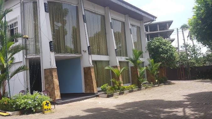
Hotel Star Garden
15th KM Post, Meddegama, Hanwella Road, 11730, Sri Lanka
contacts phone
:
+94 77 745 0915
website:
hotel-star-garden.business.site
Latitude:
7.020326
, Longitude:
80.133985
larger map & directions
read more
nearest Lodging
1.373 km
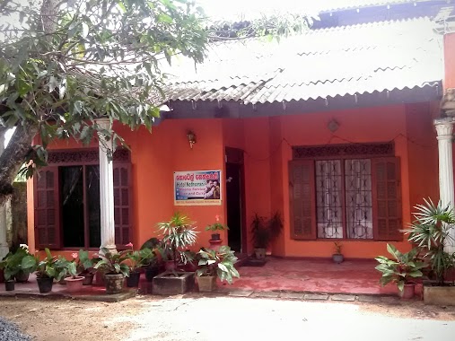
Hotel Minikirula
Hotel Mini Kirula, Hiswella Road, Maddegama
Lodging
read more
1.737 km
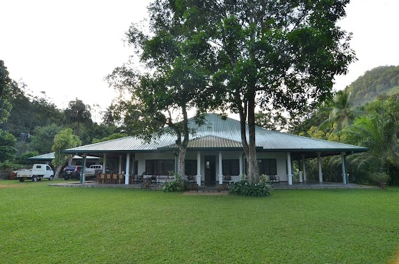
Grand Centre Hotel
4261/18 Maligawaththa, Gampaha
Lodging
read more
2.173 km
Balasuriya Hotel
Sri Lanka
Lodging
read more
2.277 km
Kirindiwela Village Hotel
27/U/5, Nugahena Watta
Lodging
read more
4.465 km
Hideaway
Wathurugama
Lodging
read more
4.492 km
The Pineapple Villa
Atambagahawatta Wathuregama, Gampaha
Lodging
read more
4.565 km
SpyGlass
Gampaha
Lodging
read more
4.97 km
Hotel Pugoda Village
Pugoda-Mandawala Road
Lodging
read more
5.035 km
Spyglass
Meethriigal Kande Meethirigala, Gampaha
Lodging
read more
5.235 km
Muslim Hotel
Lodging
read more
5.235 km
Muslim Hotel
Sri Lanka
Lodging
read more
5.787 km
Comilla Bungalow
Indurugalle, 76/5 Comilla Estate Road
Lodging
read more
5.79 km
Amarasa Night Kade
Yakkala - Radawana Road, Wathurugama
Lodging
read more
8.528 km
Chalet's Hotel
Gampaha
Lodging
read more
12.409 km
Lihini Gest House
Ihala Thalduwa Sri Isipathanaramaya, Avissawella-Hatton-Nuwara Eliya Highway, Talduwa
Lodging
read more
12.565 km
Lebba Hotel
Lodging
read more
13.125 km
Best One Hotel
Lodging
read more
13.648 km
Linrose Hotel
Bemmulla
Lodging
read more
13.716 km
Hotel Nethsarani
Nittambuwa
Lodging
read more
14.318 km
Ranmin Bellair Banglow
Gatamawara Mawatha
Lodging
read more
15.141 km
Samagi Hotel
585,Uswatta Building, 531/5, Malwana Road
Lodging
read more
16.517 km
Samadi Hotel
Malwana Road
Lodging
read more
16.679 km
Saketha
Gampaha
Lodging
read more
18.586 km
Jilani Hotel
Mennanna
Lodging
read more
18.769 km
Banana Leaf Hotel
Sri Lanka
Lodging
read more
📑
all categories
Accounting
Administrative area level 1
Administrative area level 2
Airport
Amusement park
Aquarium
Art gallery
Atm
Bakery
Bank
Bar
Beauty salon
Bicycle store
Book store
Bowling alley
Bus station
Cafe
Campground
Car dealer
Car rental
Car repair
Car wash
Casino
Cemetery
Church
City hall
Clothing store
Colloquial area
Convenience store
Country
Courthouse
Dentist
Department store
Doctor
Electrician
Electronics store
Embassy
Finance
Fire station
Florist
Food
Funeral home
Furniture store
Gas station
General contractor
Grocery or supermarket
Gym
Hair care
Hardware store
Health
Hindu Temple
Home goods store
Hospital
Insurance agency
Intersection
Jewelry store
Laundry
Lawyer
Library
Light rail station
Liquor store
Local government office
Locality
Locksmith
Lodging
Meal delivery
Meal takeaway
Mosque
Movie rental
Movie theater
Moving company
Museum
Natural feature
Neighborhood
Night club
Painter
Park
Parking
Pet store
Pharmacy
Physiotherapist
Place of worship
Plumber
Point of interest
Police
Political
Post office
Premise
Real estate agency
Restaurant
Roofing contractor
Route
Rv park, camping
School
Shoe store
Shopping mall
Spa
Stadium
Storage
Store
Subpremise
Supermarket
Synagogue
Taxi stand
Train station
Transit station
Travel agency
University
Veterinary care
Zoo
administrative area level 3
sublocality level 1
sublocality level 2
↑