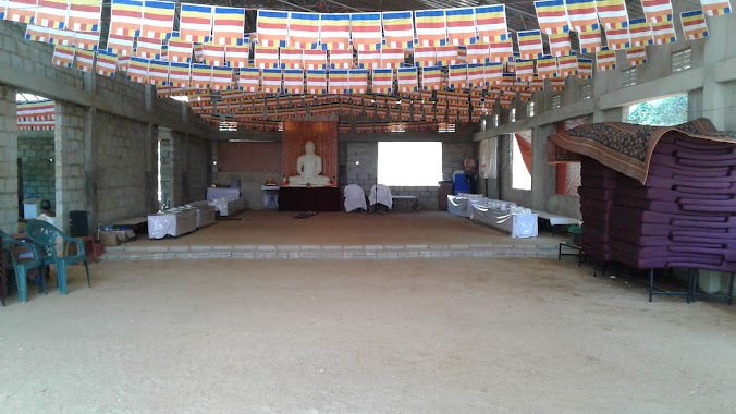
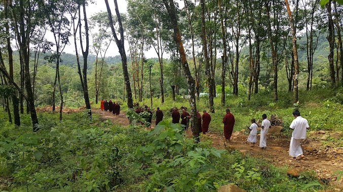
Place of worship nearby Sudampaya Dharmayathanaya, Bodhirajagama, Ingiriya
Sri Lanka
Place of worship nearby Sudampaya Dharmayathanaya, Bodhirajagama, Ingiriya
Sudampaya Dharmayathanaya, Bodhirajagama, Ingiriya
Ingiriya Sri Lanka
contacts phone
:
+94
Latitude:
6.7529779
, Longitude:
80.1614374
read more
nearest Place of worship
1.412 km
Sri Wijaya Bodhiraja Temple
Meepe - Ingiriya Road
Place of worship
read more
1.954 km
Ingiriya Bo-Tree
Ratnapura - Horana - Panadura Highway, Ingiriya
Place of worship
read more
2.057 km
Raigam Estate Temple
Raigam Estate Upper Division Road
Place of worship
read more
2.323 km
Bodhinagala Bo Samindu
Bodhinagala Road, Ingiriya
Place of worship
read more
2.92 km
Sri Bodhirukkharamaya Viharaya
Kalutara
Place of worship
read more
3.366 km
Kekuladola Temple
6°46'49.1"N 80°08'53.9"E, Galle Road, Colombo
Place of worship
read more
3.792 km
Susantha Alvis Kapu Mahaththayage Dewale
Maputugala
Place of worship
read more
3.949 km
Sri Wickramasinharamaya
Maputugala
Place of worship
read more
4.412 km
Nambapana Temple
Kalutara
Place of worship
read more
4.66 km
Sri Sangikaramaya
Poruwadanda-Handapangoda Road, Poruwadanda
Place of worship
read more
4.663 km
buddagayawa Temple
Sri Lanka
Place of worship
read more
4.924 km
sri Gunanandaramaya viharaya
Ratnapura
Place of worship
read more
5 km
ධර්මයයි ඔබයි ආරාමය/ Dharmayai Obai Aramaya
Keenagahawila Road, Nugedanda
Place of worship
read more
5.008 km
Sri Vijaya Sunandaramaya
Place of worship
read more
5.014 km
Dharmayai Obai Aramaya
Kalutara
Place of worship
read more
5.026 km
Kurana Temple
Kalutara
Place of worship
read more
5.183 km
සඳගිරි සාම විහාරය සහ දහම්සඳ දහම් පාසල
Yatawatura, Pelpitigoda, Rathmalgoda Road, Malagala
Place of worship
read more
5.29 km
Sri Thilakarama Buddhist Temple
Poruwadanda
Place of worship
read more
5.745 km
Sri Anandarama Maha Viharaya
Keenagahawila
Place of worship
read more
5.963 km
Dharmayai Obai Dharmayathanaya
Keenagahawila
Place of worship
read more
6.618 km
Gallen Buddhist center
Perth Paradise, Ratnapura - Horana - Panadura Highway
Place of worship
read more
6.672 km
Sri Dewarakkitharamaya
Wagawatta Road, Wagawattha
Place of worship
read more
9.638 km
Sri Nandarama Viharaya
Uduwa South, Malosela Road
Place of worship
read more
11.937 km
Mathika Matha Bhikshuni Aaramaya
Senanayaka Pedesa Arukwaththa, Padukka
Place of worship
read more
17.842 km
Temple
Pelapitiyagoda
Place of worship
read more
📑
all categories
Accounting
Administrative area level 1
Administrative area level 2
Airport
Amusement park
Aquarium
Art gallery
Atm
Bakery
Bank
Bar
Beauty salon
Bicycle store
Book store
Bowling alley
Bus station
Cafe
Campground
Car dealer
Car rental
Car repair
Car wash
Casino
Cemetery
Church
City hall
Clothing store
Colloquial area
Convenience store
Country
Courthouse
Dentist
Department store
Doctor
Electrician
Electronics store
Embassy
Finance
Fire station
Florist
Food
Funeral home
Furniture store
Gas station
General contractor
Grocery or supermarket
Gym
Hair care
Hardware store
Health
Hindu Temple
Home goods store
Hospital
Insurance agency
Intersection
Jewelry store
Laundry
Lawyer
Library
Light rail station
Liquor store
Local government office
Locality
Locksmith
Lodging
Meal delivery
Meal takeaway
Mosque
Movie rental
Movie theater
Moving company
Museum
Natural feature
Neighborhood
Night club
Painter
Park
Parking
Pet store
Pharmacy
Physiotherapist
Place of worship
Plumber
Point of interest
Police
Political
Post office
Premise
Real estate agency
Restaurant
Roofing contractor
Route
Rv park, camping
School
Shoe store
Shopping mall
Spa
Stadium
Storage
Store
Subpremise
Supermarket
Synagogue
Taxi stand
Train station
Transit station
Travel agency
University
Veterinary care
Zoo
administrative area level 3
sublocality level 1
sublocality level 2
↑