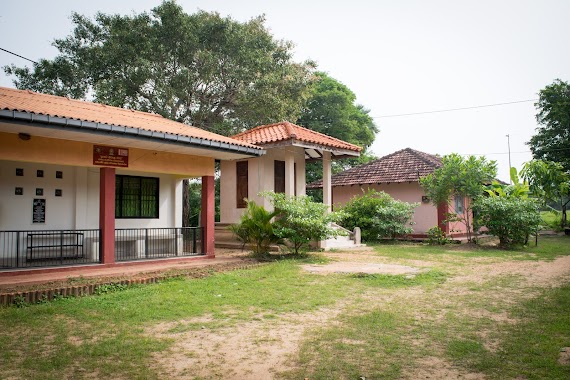
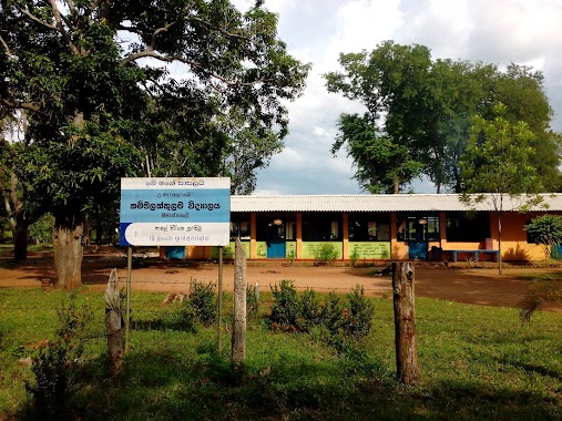
School nearby Athungama Gemunu Maha Vidyalaya
Sri Lanka
School nearby Athungama Gemunu Maha Vidyalaya
Athungama Gemunu Maha Vidyalaya
Anuradhapura, Sri Lanka
contacts phone
:
+94
Latitude:
8.2165403
, Longitude:
80.5543777
larger map & directions
read more
nearest School
3.014 km
VTA VTC Thirappane
Vocational Training Center, Pradesiya sabawa, Thirappane
School
read more
3.446 km
Mahanama Maha Vidyalaya
A9, Tirappane
School
read more
3.656 km
ARA higher educational central
Tirappane
School
read more
4.062 km
Kattamurichchana Vidyalaya
Anuradhapura
School
read more
4.388 km
Meewellewa Vidyalaya
Anuradhapura
School
read more
4.552 km
Pethis Rambewa Vidyalaya
Anuradhapura
School
read more
4.755 km
Uttimaduwa Vidyalaya
Anuradhapura
School
read more
6.906 km
Pairimaduwa Vidyalaya
Anuradhapura
School
read more
7.677 km
Kahapathvilagama Vidyalaya
Nochchikulama Road, Galkulama
School
read more
8.923 km
A/Dhammadinna Maha Vidyalaya,Galkulama
Galkulama
School
read more
12.26 km
A/Wannammaduwa Maha Vidyalaya
Anuradhapura
School
read more
12.267 km
Mahawanmaduwa Vidyalaya
Anuradhapura
School
read more
12.273 km
Thammennagama Vidyalaya
Anuradhapura
School
read more
13.764 km
Netiyagama primary school
Seppukulama
School
read more
13.95 km
VTA VTC Gonapathirawa
Vocational Training Center, Senapura Road, Gonapathirawa
School
read more
14.178 km
A/Pllekagama Vidyalaya
Anuradhapura
School
read more
14.382 km
Nawakkulama Vidyalaya
Anuradhapura
School
read more
14.848 km
A/Aluthwewa Galmaduwa Vidyalaya
Anuradhapura
School
read more
14.894 km
Sena Maha Vidyalaya
Kaluwila
School
read more
15.967 km
Kovid Nikethan ( Institute Of Easthetic Studies )
600L, Airport Road, அனுராதபுரம்
School
read more
17.175 km
Kammalakkulama school කම්මලක්කුලම විදුහල
Anuradhapura
School
read more
17.2 km
Senapura Maha Viduhala
Kagama - Gonapathirawa Road
School
read more
17.213 km
Namedewa Government School
Eppawala
School
read more
19.032 km
Galapitagala Vidyalaya
Anuradhapura
School
read more
19.565 km
Kagama Yaya 6 Dutugemunu Viduhala
Anuradhapura
School
read more
📑
all categories
Accounting
Administrative area level 1
Administrative area level 2
Airport
Amusement park
Aquarium
Art gallery
Atm
Bakery
Bank
Bar
Beauty salon
Bicycle store
Book store
Bowling alley
Bus station
Cafe
Campground
Car dealer
Car rental
Car repair
Car wash
Casino
Cemetery
Church
City hall
Clothing store
Colloquial area
Convenience store
Country
Courthouse
Dentist
Department store
Doctor
Electrician
Electronics store
Embassy
Finance
Fire station
Florist
Food
Funeral home
Furniture store
Gas station
General contractor
Grocery or supermarket
Gym
Hair care
Hardware store
Health
Hindu Temple
Home goods store
Hospital
Insurance agency
Intersection
Jewelry store
Laundry
Lawyer
Library
Light rail station
Liquor store
Local government office
Locality
Locksmith
Lodging
Meal delivery
Meal takeaway
Mosque
Movie rental
Movie theater
Moving company
Museum
Natural feature
Neighborhood
Night club
Painter
Park
Parking
Pet store
Pharmacy
Physiotherapist
Place of worship
Plumber
Point of interest
Police
Political
Post office
Premise
Real estate agency
Restaurant
Roofing contractor
Route
Rv park, camping
School
Shoe store
Shopping mall
Spa
Stadium
Storage
Store
Subpremise
Supermarket
Synagogue
Taxi stand
Train station
Transit station
Travel agency
University
Veterinary care
Zoo
administrative area level 3
sublocality level 1
sublocality level 2
↑