School nearby Batawala Pathegama Primary School
Sri Lanka
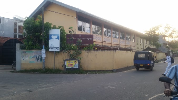
School nearby Batawala Pathegama Primary School
Batawala Pathegama Primary School
Welegoda Road, Pathegama, Matara, LK Sri Lanka
contacts phone
:
+94
Latitude:
5.9818239
, Longitude:
80.4056244
larger map & directions
read more
nearest School
343 m
Pathegama Kanishta Vidyalaya
Batawala - Pathegama Road, Weligama
School
read more
1.404 km
M/R Kudalumull Vanigasiri College
Sri Lanka
School
read more
1.406 km
Wanigasiri Primary School- Kudalumulla
Batawala - Pathegama Road
School
read more
1.426 km
Midigama Maha Vidyalaya
Sri Lanka
School
read more
1.846 km
Gathika Chemistry Institute
A2, Weligama
School
read more
1.94 km
Hemachandra Gunasekara Maha Vidyalaya
Weligama
School
read more
1.948 km
Dharmaraja College - Weligama
Matara
School
read more
2.168 km
Siddhartha College
Weligama
School
read more
2.185 km
Sri Sumangala Primary School
Hetti Weediya, Weligama
School
read more
2.191 km
Step One Nursery
Matara
School
read more
2.293 km
සුමඟ පෙර පාසල
Matara
School
read more
2.349 km
මාර/වැලි - ධර්මපාල ආදර්ශ කනිෂ්ඨ විද්යාලය
Weligama By Pass Road, Weligama
School
read more
2.349 km
Dharmapala Model Primary School
Weligama By Pass Road, Weligama
School
read more
2.414 km
matara.ibbawala kanitu viduhala
Matara
School
read more
2.52 km
Salahiya International School
34 Samagi Mawatha, Weligama
School
read more
2.556 km
school canteen
Weligama
School
read more
2.589 km
Arfa Central College
Weligama
School
read more
2.615 km
Arafa School
Weligama
School
read more
2.633 km
school main hall
Weligama
School
read more
2.646 km
Jayasooriya National School, Palalla
Weligama
School
read more
2.811 km
Weligama Bay Dive Center
Matara
School
read more
2.861 km
Asian Class.
no 145 main street weligama
School
read more
2.937 km
Jennath Internationl School
No 303, Weligama - Kananke Road, Weligama
School
read more
3.735 km
Nethsarana Children Care Center
Galle
School
read more
3.77 km
G/PANCHALIYA PRIMARY SCHOOL
Panchaliya - Borala Road
School
read more
📑
all categories
Accounting
Administrative area level 1
Administrative area level 2
Airport
Amusement park
Aquarium
Art gallery
Atm
Bakery
Bank
Bar
Beauty salon
Bicycle store
Book store
Bowling alley
Bus station
Cafe
Campground
Car dealer
Car rental
Car repair
Car wash
Casino
Cemetery
Church
City hall
Clothing store
Colloquial area
Convenience store
Country
Courthouse
Dentist
Department store
Doctor
Electrician
Electronics store
Embassy
Finance
Fire station
Florist
Food
Funeral home
Furniture store
Gas station
General contractor
Grocery or supermarket
Gym
Hair care
Hardware store
Health
Hindu Temple
Home goods store
Hospital
Insurance agency
Intersection
Jewelry store
Laundry
Lawyer
Library
Light rail station
Liquor store
Local government office
Locality
Locksmith
Lodging
Meal delivery
Meal takeaway
Mosque
Movie rental
Movie theater
Moving company
Museum
Natural feature
Neighborhood
Night club
Painter
Park
Parking
Pet store
Pharmacy
Physiotherapist
Place of worship
Plumber
Point of interest
Police
Political
Post office
Premise
Real estate agency
Restaurant
Roofing contractor
Route
Rv park, camping
School
Shoe store
Shopping mall
Spa
Stadium
Storage
Store
Subpremise
Supermarket
Synagogue
Taxi stand
Train station
Transit station
Travel agency
University
Veterinary care
Zoo
administrative area level 3
sublocality level 1
sublocality level 2
↑