School nearby Henawala Maha Vidyalaya
Sri Lanka
School nearby Henawala Maha Vidyalaya
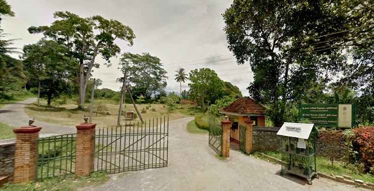
Henawala Maha Vidyalaya
Menikhinna- Kengalla Road, Kandy, Central Province, LK Sri Lanka
contacts phone
:
+94
Latitude:
7.3037653
, Longitude:
80.7070255
larger map & directions
read more
nearest School
1.248 km
Dharmaloka Maha Vidyalaya
Malgahamula - Galaluwa Road
School
read more
1.468 km
Hurikaduwa Balika Maha Vidyalaya
Menikhinna
School
read more
1.517 km
Hurikaduwa Balika Maha Vidyalaya
Sapugahamulawatte Road, Menikhinna
School
read more
1.572 km
Atharagalla Primery College
Kundasale
School
read more
1.577 km
Primary College, Atharagalla
Digana
School
read more
1.579 km
Tiny Kids Pre School
Menikhinna
School
read more
1.655 km
Chirpy Kids
Mitree Mawatha, Balagolla
School
read more
1.849 km
Kids Cabin
04 Kukuloya Road, Menikhinna
School
read more
1.986 km
SRI LANKA SCHOOL OF ANIMAL HUSBANDRY
Kundasale
School
read more
2.095 km
Kengalle Maha VIdyalaya
Kundasale
School
read more
2.121 km
Kengalla Pirmary School
Kengalla
School
read more
2.126 km
School, Kengalla
Kengalla
School
read more
2.126 km
kengalla maha viddiyalaya kengalla
Kengalla Pirmary School, Kengalla
School
read more
2.126 km
Kengalla,Primary school
Kengalla
School
read more
2.262 km
A.Rathnayaka Central College
Menikhinna
School
read more
2.364 km
Nalanda Buddhist College
Thurunusawigama Road, Pallekele
School
read more
2.382 km
Candy Kids
Balagolla
School
read more
2.394 km
Vevekanada Tamil School
Pallekele
School
read more
2.4 km
Kundasale School Of Agriculture
Malgahamula - Kirimetiya Road, Pallekele
School
read more
2.537 km
Pathadumbara Maha Vidyalaya
Menikhinna
School
read more
2.683 km
Balagolla School Ground
Balagolla
School
read more
2.684 km
Cp/wa/pathadumbara Maha Vidyalaya
Jambugahapitiya
School
read more
3.037 km
Tiny Kids
B256, Jambugahapitiya
School
read more
3.043 km
Digana Music Academy
Digana
School
read more
3.463 km
Maga Naguma
Kundasale
School
read more
📑
all categories
Accounting
Administrative area level 1
Administrative area level 2
Airport
Amusement park
Aquarium
Art gallery
Atm
Bakery
Bank
Bar
Beauty salon
Bicycle store
Book store
Bowling alley
Bus station
Cafe
Campground
Car dealer
Car rental
Car repair
Car wash
Casino
Cemetery
Church
City hall
Clothing store
Colloquial area
Convenience store
Country
Courthouse
Dentist
Department store
Doctor
Electrician
Electronics store
Embassy
Finance
Fire station
Florist
Food
Funeral home
Furniture store
Gas station
General contractor
Grocery or supermarket
Gym
Hair care
Hardware store
Health
Hindu Temple
Home goods store
Hospital
Insurance agency
Intersection
Jewelry store
Laundry
Lawyer
Library
Light rail station
Liquor store
Local government office
Locality
Locksmith
Lodging
Meal delivery
Meal takeaway
Mosque
Movie rental
Movie theater
Moving company
Museum
Natural feature
Neighborhood
Night club
Painter
Park
Parking
Pet store
Pharmacy
Physiotherapist
Place of worship
Plumber
Point of interest
Police
Political
Post office
Premise
Real estate agency
Restaurant
Roofing contractor
Route
Rv park, camping
School
Shoe store
Shopping mall
Spa
Stadium
Storage
Store
Subpremise
Supermarket
Synagogue
Taxi stand
Train station
Transit station
Travel agency
University
Veterinary care
Zoo
administrative area level 3
sublocality level 1
sublocality level 2
↑