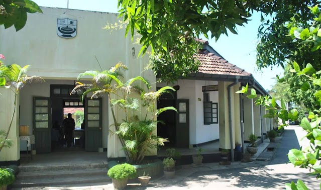
School nearby Mursiya Arabic College
Coronavirus disease (COVID-19) Situation
confirmed cases
672754
deaths
16897
Sri Lanka
School nearby Mursiya Arabic College
Mursiya Arabic College
Weligama, Sri Lanka
contacts phone
:
+94 77 396 8558
Latitude:
5.9802397
, Longitude:
80.4308874
larger map & directions
read more
nearest School
204 m
Jennath Internationl School
No 303, Weligama - Kananke Road, Weligama
School
read more
205 m
Wisdom International College
25 Jinna Road, Weligama
School
read more
215 m
school main hall
Weligama
School
read more
235 m
Arfa Central College
Weligama
School
read more
239 m
ARAFA NATIONAL SCHOOL
Jinna Road, Weligama
School
read more
239 m
Arafa National College
Weligama
School
read more
308 m
school canteen
Weligama
School
read more
316 m
New Dhawrathu Hadees
Weligama
School
read more
320 m
Salahiya International School
34 Samagi Mawatha, Weligama
School
read more
346 m
Hilriya Madrasa
Weligama
School
read more
390 m
Arafa School
Weligama
School
read more
611 m
Ikra International School
Weligama
School
read more
726 m
Crescent Nursery School
Hetti Weediya, Weligama
School
read more
746 m
Asian Class.
no 145 main street weligama
School
read more
797 m
Sriyani Montessori
A2, Weligama
School
read more
913 m
Kasun Preshool
Hetti Weediya
School
read more
914 m
Kasun Montessori
Hetti Weediya, Weligama
School
read more
918 m
Lion's Surf School
Unnamed Road, Weligama
School
read more
976 m
Surf Point
Matara
School
read more
1.037 km
Shine Star Pre-School
Weligama
School
read more
1.038 km
Sri Sumangala Balika Vidyalaya
Hetti Weediya, Weligama
School
read more
1.049 km
Sri Sumangala Primary School
Hetti Weediya, Weligama
School
read more
1.234 km
Step One Nursery
Matara
School
read more
1.332 km
Hemachandra Gunasekara Maha Vidyalaya
Weligama
School
read more
1.334 km
Siddhartha College
Weligama
School
read more
📑
all categories
Accounting
Administrative area level 1
Administrative area level 2
Airport
Amusement park
Aquarium
Art gallery
Atm
Bakery
Bank
Bar
Beauty salon
Bicycle store
Book store
Bowling alley
Bus station
Cafe
Campground
Car dealer
Car rental
Car repair
Car wash
Casino
Cemetery
Church
City hall
Clothing store
Colloquial area
Convenience store
Country
Courthouse
Dentist
Department store
Doctor
Electrician
Electronics store
Embassy
Finance
Fire station
Florist
Food
Funeral home
Furniture store
Gas station
General contractor
Grocery or supermarket
Gym
Hair care
Hardware store
Health
Hindu Temple
Home goods store
Hospital
Insurance agency
Intersection
Jewelry store
Laundry
Lawyer
Library
Light rail station
Liquor store
Local government office
Locality
Locksmith
Lodging
Meal delivery
Meal takeaway
Mosque
Movie rental
Movie theater
Moving company
Museum
Natural feature
Neighborhood
Night club
Painter
Park
Parking
Pet store
Pharmacy
Physiotherapist
Place of worship
Plumber
Point of interest
Police
Political
Post office
Premise
Real estate agency
Restaurant
Roofing contractor
Route
Rv park, camping
School
Shoe store
Shopping mall
Spa
Stadium
Storage
Store
Subpremise
Supermarket
Synagogue
Taxi stand
Train station
Transit station
Travel agency
University
Veterinary care
Zoo
administrative area level 3
sublocality level 1
sublocality level 2
↑