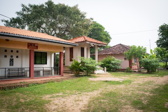
School nearby Pahala Halmillewa Vidyalaya
Sri Lanka
School nearby Pahala Halmillewa Vidyalaya
Pahala Halmillewa Vidyalaya
Anuradhapura, Sri Lanka
contacts phone
:
+94
Latitude:
8.3046206
, Longitude:
80.6179106
larger map & directions
read more
nearest School
2.042 km
Kanadara Katukeliyawa Muslim School
Sri Lanka
School
read more
2.296 km
Mawathawewa Darmaraja Vidyalaya
Anuradhapura
School
read more
3.501 km
Netiyagama primary school
Seppukulama
School
read more
4.43 km
Thammennagama Vidyalaya
Anuradhapura
School
read more
4.482 km
Himbutugollewa Vidyalaya
Anuradhapura
School
read more
5.134 km
Pairimaduwa Vidyalaya
Anuradhapura
School
read more
5.156 km
Ihalagama Vidyalaya
Ihalagama,Mihintale
School
read more
5.499 km
weruppankulama Primary school
Seppukulama
School
read more
5.507 km
Velusumana Primary School
Sri Lanka
School
read more
5.991 km
Kanadara Rathmale Vidyalaya
Anuradhapura
School
read more
5.991 km
Kanadara Rathmale Vidyalaya
Distrito de Anuradhapura
School
read more
7.199 km
Kahapathvilagama Vidyalaya
Nochchikulama Road, Galkulama
School
read more
7.76 km
Senya Computers
Tammannawa-Galenbindunuwewa Road
School
read more
8.116 km
Tammennewa Velusumana Maha Viduhala
Tammannawa-Galenbindunuwewa Road
School
read more
10.086 km
Uddiyanakulama Nikawewa Vidyalaya
Anuradhapura
School
read more
10.964 km
Gomarankalla Muslim Vidyalaya
Anuradhapura
School
read more
11.273 km
Thakshila Maha Vidyalaya
Ganewalpola-Dachchi Hammillewa Road
School
read more
11.438 km
Dahanakwewe Muslim School
Distrito de Anuradhapura
School
read more
12.032 km
Athungama Gemunu Maha Vidyalaya
Anuradhapura
School
read more
13.39 km
A/Dhammadinna Maha Vidyalaya,Galkulama
Galkulama
School
read more
13.895 km
Nawakkulama Vidyalaya
Anuradhapura
School
read more
14.066 km
English Language Laboratory
Main Admin, Rajarata University of Sri Lanka, Mihintale
School
read more
14.236 km
Faculty of Management Studies
Mihintale
School
read more
16.123 km
අ / පඩිකාරමඩුව විජය මහා විදුහල .
Anuradhapura
School
read more
17.391 km
Jamaliya Arabic College
Distrito de Anuradhapura
School
read more
📑
all categories
Accounting
Administrative area level 1
Administrative area level 2
Airport
Amusement park
Aquarium
Art gallery
Atm
Bakery
Bank
Bar
Beauty salon
Bicycle store
Book store
Bowling alley
Bus station
Cafe
Campground
Car dealer
Car rental
Car repair
Car wash
Casino
Cemetery
Church
City hall
Clothing store
Colloquial area
Convenience store
Country
Courthouse
Dentist
Department store
Doctor
Electrician
Electronics store
Embassy
Finance
Fire station
Florist
Food
Funeral home
Furniture store
Gas station
General contractor
Grocery or supermarket
Gym
Hair care
Hardware store
Health
Hindu Temple
Home goods store
Hospital
Insurance agency
Intersection
Jewelry store
Laundry
Lawyer
Library
Light rail station
Liquor store
Local government office
Locality
Locksmith
Lodging
Meal delivery
Meal takeaway
Mosque
Movie rental
Movie theater
Moving company
Museum
Natural feature
Neighborhood
Night club
Painter
Park
Parking
Pet store
Pharmacy
Physiotherapist
Place of worship
Plumber
Point of interest
Police
Political
Post office
Premise
Real estate agency
Restaurant
Roofing contractor
Route
Rv park, camping
School
Shoe store
Shopping mall
Spa
Stadium
Storage
Store
Subpremise
Supermarket
Synagogue
Taxi stand
Train station
Transit station
Travel agency
University
Veterinary care
Zoo
administrative area level 3
sublocality level 1
sublocality level 2
↑