Stadium nearby Badulla District Basketball Stadium
Sri Lanka
Stadium nearby Badulla District Basketball Stadium
Badulla District Basketball Stadium
Badulla, Sri Lanka
contacts phone
:
+94
Latitude:
6.9878987
, Longitude:
81.0618077
larger map & directions
read more
nearest Stadium
125 m
Vincent Dias Stadium
Badulla
Stadium
read more
206 m
Badulla Cricket Stadium
Distrito de Badulla
Stadium
read more
206 m
Badulla Cricket Stadium
Badulla
Stadium
read more
19.084 km
Bandarawela Public Ground
Bandarawela
Stadium
read more
19.266 km
Ambagasdowa Public Ground
Ambagasdowa
Stadium
read more
23.789 km
Wellassa National School Stadium
Peradeniya-Badulla-Chenkaladi Highway, Bibile
Stadium
read more
23.887 km
St Thomas College Play Ground Ruzhdi szt
Sri Lanka
Stadium
read more
25.902 km
Public Playground Bibile
Bibile
Stadium
read more
26.021 km
Mahamathya Science College Stadium
Bibile
Stadium
read more
32.407 km
Nuwara Eliya Race Course Ground
Badulla Road, Nuwara Eliya
Stadium
read more
32.622 km
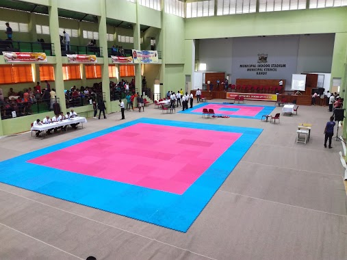
Nuwaraeliya Municipal Indoor Stadium
Nuwara Eliya
Stadium
read more
40.448 km
TRI Play Ground
Sri Lanka
Stadium
read more
50.244 km
Digana sport complex
Digana
Stadium
read more
50.249 km
Mahaweli Stadium
Digana
Stadium
read more
50.252 km
Digana stadium
Digana
Stadium
read more
52.001 km
Norwood Ground
Norwood
Stadium
read more
52.059 km
Thondaman Football stadium Norwood
Norwood
Stadium
read more
57.739 km
Bogambara Stadium
Bogambara Stadium, Ehelepola Kumarihami Mawatha, Kandy
Stadium
read more
58.035 km
Trinity College Primary Grounds
Kandy
Stadium
read more
58.156 km
Deiyannewela Grounds
Deiyannewela
Stadium
read more
58.361 km
Municipal Indoor Stadium - නාගරික ගෘහස්ථ ක්රීඩාගාරය
Kandy
Stadium
read more
58.381 km
police grounds
Kandy
Stadium
read more
58.4 km
Police Tennis Courts
Asgiriya
Stadium
read more
59.641 km
Nittawela Rugby Stadium (Kandy Sports Club Stadium)
Nittawela Rugby Stadium, Kandy
Stadium
read more
59.641 km
Nittawela Rugby Stadium
Kandy
Stadium
read more
📑
all categories
Accounting
Administrative area level 1
Administrative area level 2
Airport
Amusement park
Aquarium
Art gallery
Atm
Bakery
Bank
Bar
Beauty salon
Bicycle store
Book store
Bowling alley
Bus station
Cafe
Campground
Car dealer
Car rental
Car repair
Car wash
Casino
Cemetery
Church
City hall
Clothing store
Colloquial area
Convenience store
Country
Courthouse
Dentist
Department store
Doctor
Electrician
Electronics store
Embassy
Finance
Fire station
Florist
Food
Funeral home
Furniture store
Gas station
General contractor
Grocery or supermarket
Gym
Hair care
Hardware store
Health
Hindu Temple
Home goods store
Hospital
Insurance agency
Intersection
Jewelry store
Laundry
Lawyer
Library
Light rail station
Liquor store
Local government office
Locality
Locksmith
Lodging
Meal delivery
Meal takeaway
Mosque
Movie rental
Movie theater
Moving company
Museum
Natural feature
Neighborhood
Night club
Painter
Park
Parking
Pet store
Pharmacy
Physiotherapist
Place of worship
Plumber
Point of interest
Police
Political
Post office
Premise
Real estate agency
Restaurant
Roofing contractor
Route
Rv park, camping
School
Shoe store
Shopping mall
Spa
Stadium
Storage
Store
Subpremise
Supermarket
Synagogue
Taxi stand
Train station
Transit station
Travel agency
University
Veterinary care
Zoo
administrative area level 3
sublocality level 1
sublocality level 2
↑