Stadium nearby police grounds
Sri Lanka
Stadium nearby police grounds
police grounds
Kandy, Sri Lanka
contacts phone
:
+94
Latitude:
7.2968677
, Longitude:
80.6339056
larger map & directions
read more
nearest Stadium
48 m
Police Tennis Courts
Asgiriya
Stadium
read more
607 m
Trinity College Primary Grounds
Kandy
Stadium
read more
900 m
Bogambara Stadium
Bogambara Stadium, Ehelepola Kumarihami Mawatha, Kandy
Stadium
read more
1.194 km
Deiyannewela Grounds
Deiyannewela
Stadium
read more
1.629 km
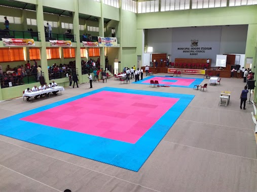
Municipal Indoor Stadium - නාගරික ගෘහස්ථ ක්රීඩාගාරය
Kandy
Stadium
read more
2.152 km
Nittawela Rugby Stadium (Kandy Sports Club Stadium)
Nittawela Rugby Stadium, Kandy
Stadium
read more
2.152 km
Nittawela Rugby Stadium
Kandy
Stadium
read more
2.896 km
Rahula College Grounds
Kandy
Stadium
read more
10.671 km
Digana sport complex
Digana
Stadium
read more
10.682 km
Digana stadium
Digana
Stadium
read more
10.686 km
Mahaweli Stadium
Digana
Stadium
read more
10.883 km
Al-haj Haniffa Stadium - Dellange
Dellanga Road, Kovilakanda
Stadium
read more
18.869 km
Bernard Aluvihara Stadium
Bernard Aluvihara Stadium, Matale
Stadium
read more
18.888 km
Bernard Aluvihara Stadium
Matale
Stadium
read more
19.811 km
Ethgala Stadium
Sri Lanka
Stadium
read more
27.155 km
Ashoka Town Ground
Rambukkana
Stadium
read more
29.225 km
Lal Attanayaka Stadium
Yatawatta
Stadium
read more
29.394 km
Jayathilaka Sports Ground
Nawalapitiya - Dimbula Road, Nawalapitiya
Stadium
read more
31.808 km
Kegalu Vidyalaya Sports Stadium
39 Vidyalaya Road, Kegalle
Stadium
read more
36.448 km
Municipal Indoor Stadium
Kurunegala
Stadium
read more
36.556 km
Maliga Pitiya Stadium
Kurunegala
Stadium
read more
36.883 km
Vehera Play Ground
Kurunegala
Stadium
read more
40.033 km
Nuwara Eliya Race Course Ground
Badulla Road, Nuwara Eliya
Stadium
read more
58.381 km
Badulla District Basketball Stadium
Badulla
Stadium
read more
58.496 km
Badulla Cricket Stadium
Distrito de Badulla
Stadium
read more
📑
all categories
Accounting
Administrative area level 1
Administrative area level 2
Airport
Amusement park
Aquarium
Art gallery
Atm
Bakery
Bank
Bar
Beauty salon
Bicycle store
Book store
Bowling alley
Bus station
Cafe
Campground
Car dealer
Car rental
Car repair
Car wash
Casino
Cemetery
Church
City hall
Clothing store
Colloquial area
Convenience store
Country
Courthouse
Dentist
Department store
Doctor
Electrician
Electronics store
Embassy
Finance
Fire station
Florist
Food
Funeral home
Furniture store
Gas station
General contractor
Grocery or supermarket
Gym
Hair care
Hardware store
Health
Hindu Temple
Home goods store
Hospital
Insurance agency
Intersection
Jewelry store
Laundry
Lawyer
Library
Light rail station
Liquor store
Local government office
Locality
Locksmith
Lodging
Meal delivery
Meal takeaway
Mosque
Movie rental
Movie theater
Moving company
Museum
Natural feature
Neighborhood
Night club
Painter
Park
Parking
Pet store
Pharmacy
Physiotherapist
Place of worship
Plumber
Point of interest
Police
Political
Post office
Premise
Real estate agency
Restaurant
Roofing contractor
Route
Rv park, camping
School
Shoe store
Shopping mall
Spa
Stadium
Storage
Store
Subpremise
Supermarket
Synagogue
Taxi stand
Train station
Transit station
Travel agency
University
Veterinary care
Zoo
administrative area level 3
sublocality level 1
sublocality level 2
↑