Train station nearby Peralanda Railway Station
Sri Lanka
Train station nearby Peralanda Railway Station
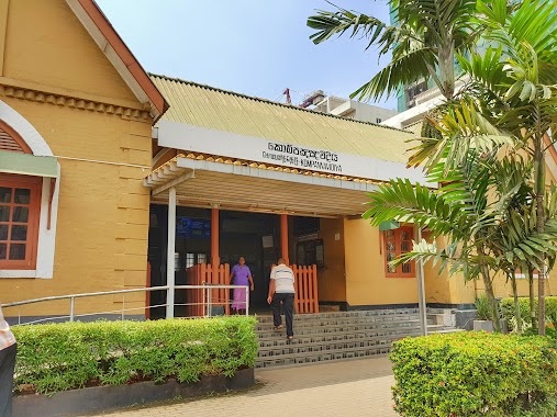
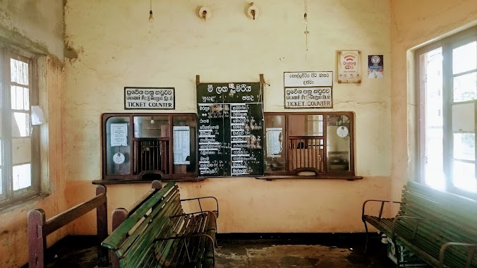
Peralanda Railway Station
Ragama, Sri Lanka
contacts phone
:
+94
website:
www.railway.gov.lk
Latitude:
7.038021
, Longitude:
79.9123616
larger map & directions
read more
nearest Train station
1.339 km
Ragama Railway Station
Thewatta Road, Ragama
Train station
read more
1.728 km
Kandana
Ja-Ela
Train station
read more
2.311 km
Walpola Railway Station
Ragama
Train station
read more
2.48 km
Horape
Station Road, Ragama
Train station
read more
3.3 km
Kapuwatta Railway Station
Ja-Ela
Train station
read more
3.331 km
Batuwatta Railway Station
Train station
read more
4.225 km
Enderamulla Railway Station
Wattala
Train station
read more
4.842 km
Bulugahagoda Railway Station
Ja-Ela
Train station
read more
4.958 km
Ja-Ela Railway Station
Station Road, Ja-Ela
Train station
read more
5.755 km
Hunupitiya Railway Station
Train station
read more
6.319 km
Ganemulla Railway Station
Ganemulla
Train station
read more
6.551 km
Tudella Railway Station
Christ King Road, Ja-Ela
Train station
read more
7.083 km
Wanawasala Railway Station
Wattala
Train station
read more
7.738 km
Kudahakapola Railway Station
Kudahakapola
Train station
read more
8.771 km
Kelaniya Railway Station
Peliyagoda
Train station
read more
10.633 km
Seeduwa
Seeduwa
Train station
read more
10.893 km
Gampaha Railway Station
Gampaha
Train station
read more
11.77 km
Dematagoda Railway Station
Kuppiyawatta East, Colombo
Train station
read more
13.274 km
Daraluwa Railway Station
Train station
read more
13.872 km
Secretariat Halt
Colombo
Train station
read more
14.198 km
Cotta Road
Colombo
Train station
read more
14.548 km
Kompannavidiya Railway Station
Station Passage, Colombo
Train station
read more
15.772 km
Kollupitiya Railway Station
Colombo
Train station
read more
17.331 km
Magalegoda Railway Station
Train station
read more
18.773 km
Heendeniya-Pattigoda Railway Station
Veyangoda
Train station
read more
📑
all categories
Accounting
Administrative area level 1
Administrative area level 2
Airport
Amusement park
Aquarium
Art gallery
Atm
Bakery
Bank
Bar
Beauty salon
Bicycle store
Book store
Bowling alley
Bus station
Cafe
Campground
Car dealer
Car rental
Car repair
Car wash
Casino
Cemetery
Church
City hall
Clothing store
Colloquial area
Convenience store
Country
Courthouse
Dentist
Department store
Doctor
Electrician
Electronics store
Embassy
Finance
Fire station
Florist
Food
Funeral home
Furniture store
Gas station
General contractor
Grocery or supermarket
Gym
Hair care
Hardware store
Health
Hindu Temple
Home goods store
Hospital
Insurance agency
Intersection
Jewelry store
Laundry
Lawyer
Library
Light rail station
Liquor store
Local government office
Locality
Locksmith
Lodging
Meal delivery
Meal takeaway
Mosque
Movie rental
Movie theater
Moving company
Museum
Natural feature
Neighborhood
Night club
Painter
Park
Parking
Pet store
Pharmacy
Physiotherapist
Place of worship
Plumber
Point of interest
Police
Political
Post office
Premise
Real estate agency
Restaurant
Roofing contractor
Route
Rv park, camping
School
Shoe store
Shopping mall
Spa
Stadium
Storage
Store
Subpremise
Supermarket
Synagogue
Taxi stand
Train station
Transit station
Travel agency
University
Veterinary care
Zoo
administrative area level 3
sublocality level 1
sublocality level 2
↑