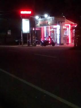
Cafe nearby Nilame stores
Sri Lanka
Cafe nearby Nilame stores
Nilame stores
Samagi Mawatha, Gampaha, Western Province, LK Sri Lanka
contacts phone
:
+94
Latitude:
7.1608989
, Longitude:
79.942768
larger map & directions
read more
nearest Cafe
1.474 km
Ranjee Cool Spot
Minuwangoda
Cafe
read more
1.672 km
Janaka Hotel
Uggalboda Road, Paththanduwana
Cafe
read more
3.111 km
Crimson Bakery By Laugfs Super
Gampaha
Cafe
read more
4.141 km
Sanroo Carerers & Bakers
Katunayake-Veyangoda Road, Katunayake
Cafe
read more
4.194 km
Nalaka Studio
Dunagaha - Nilpanagoda Road, Minuwangoda
Cafe
read more
4.254 km
Sanjana Cashew Products
Nedagamuwa
Cafe
read more
4.454 km
Chandana Hotel
Katunayake-Veyangoda Road, Katunayake
Cafe
read more
4.486 km
Gayan Tea Room
Ekala-Kotadeniyawa Road, Kotugoda
Cafe
read more
4.553 km
Nalin Bakers
Weediyawatta
Cafe
read more
4.947 km
Varuni Snak Bar
Ekala-Kotadeniyawa Road
Cafe
read more
4.981 km
MS Foods
Katunayake
Cafe
read more
5.061 km
St.peters Shop
Udugampola
Cafe
read more
5.597 km
Samidi Fresh Juice
Udugampola
Cafe
read more
5.753 km
Kristy Cool Spot
Udugampola Roundabout, Udugampola
Cafe
read more
5.821 km
Sisira Bakery
Udugampola
Cafe
read more
5.901 km
Siyasra Luxury Banquets
173, Kotugoda Road, Seeduwa
Cafe
read more
5.902 km
www.cake.lk
Janitha Group, 173/1, Kotugoda Road, Seeduwa
Cafe
read more
6.198 km
ඣානකතා Stores
Minuwangoda-Gampaha-Miriswatta Road, Udugampola
Cafe
read more
6.813 km
P&S Bakers
Ja Ela-Ekala-Gampaha-Yakkala Highway, Ja-Ela
Cafe
read more
8.209 km
Dilus Hotel
Ja-Ela
Cafe
read more
9.413 km
SEEDS - Juice Station
17 Marybiso Road, Gampaha
Cafe
read more
9.937 km
JUC Cafe Arpico
Ja Ela-Ekala-Gampaha-Yakkala Highway, Gampaha
Cafe
read more
12.157 km
Stollen
No 391/A Main Street, Negombo
Cafe
read more
13.392 km
Cafe enviro
277 Lewis Place, Negombo
Cafe
read more
14.321 km
H.M Juice Bar & Snack Corner
108 Porutota Road, Negombo
Cafe
read more
📑
all categories
Accounting
Administrative area level 1
Administrative area level 2
Airport
Amusement park
Aquarium
Art gallery
Atm
Bakery
Bank
Bar
Beauty salon
Bicycle store
Book store
Bowling alley
Bus station
Cafe
Campground
Car dealer
Car rental
Car repair
Car wash
Casino
Cemetery
Church
City hall
Clothing store
Colloquial area
Convenience store
Country
Courthouse
Dentist
Department store
Doctor
Electrician
Electronics store
Embassy
Finance
Fire station
Florist
Food
Funeral home
Furniture store
Gas station
General contractor
Grocery or supermarket
Gym
Hair care
Hardware store
Health
Hindu Temple
Home goods store
Hospital
Insurance agency
Intersection
Jewelry store
Laundry
Lawyer
Library
Light rail station
Liquor store
Local government office
Locality
Locksmith
Lodging
Meal delivery
Meal takeaway
Mosque
Movie rental
Movie theater
Moving company
Museum
Natural feature
Neighborhood
Night club
Painter
Park
Parking
Pet store
Pharmacy
Physiotherapist
Place of worship
Plumber
Point of interest
Police
Political
Post office
Premise
Real estate agency
Restaurant
Roofing contractor
Route
Rv park, camping
School
Shoe store
Shopping mall
Spa
Stadium
Storage
Store
Subpremise
Supermarket
Synagogue
Taxi stand
Train station
Transit station
Travel agency
University
Veterinary care
Zoo
administrative area level 3
sublocality level 1
sublocality level 2
↑