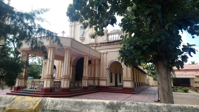
Church nearby Church of South India,Atchuvely
Sri Lanka
Church nearby Church of South India,Atchuvely
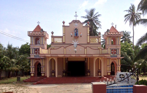
Church of South India,Atchuvely
AtchuvelyJaffna, Sri Lanka
contacts phone
:
+94
Latitude:
9.7775429
, Longitude:
80.1150476
larger map & directions
read more
nearest Church
502 m
St. Joseph's Church, Thenmoolai, Atchuvely
Vallai-Tellippalai-Araly Road
Church
read more
502 m
St. Joseph's Church, Thenmoolai, Atchuvely
B437
Church
read more
536 m
Atchuvely St Antony's Church
Atchuvely North, AB32 Vallai-Tellippalai-Araly Road
Church
read more
1.206 km
Christian Misonary Church
Jaffna
Church
read more
2.764 km
Oddakapulam Church
Atchuvely Post office, Vallai-Tellippalai-Araly Road
Church
read more
2.764 km
Oddakapulam Church
Atchuvely Post office, B437
Church
read more
3.095 km
Navakakiri Reetaama church
Jaffna
Church
read more
3.314 km
St-Lukca's Church
Puttur Road
Church
read more
3.494 km
Good Shepherd Missionary Church
Puttur Road
Church
read more
4.466 km
Palaly North Church
AB21
Church
read more
4.805 km
Palaly Saint Sebastian Church
AB18, Kankesanturai
Church
read more
5.795 km
Yesu Nilayam
Tondaimanar-Uduppiddi Road, Valvettithurai
Church
read more
10.393 km
Keerimalai Church
Keerimalai Road, Kankesanturai
Church
read more
11.58 km
New Living Flame Church
Kopay, Irupalai, Jaffna
Church
read more
12.169 km
Rainbow Church
Singam lane, Uduvil
Church
read more
12.352 km
Holy Family Church
Uduvil
Church
read more
12.453 km
The Salvation Army Shalom Children Home
A9, Chavakachcheri
Church
read more
12.592 km
Alaveddy CACM Church
Church
read more
14.17 km
St. Jude's Church
College Lane, Ilavalai
Church
read more
15.782 km
Our Lady of Rosary Church
Jaffna
Church
read more
15.884 km
Mary church
Jaffna
Church
read more
16.152 km
St Ann's Church
Columbuthurai Road, Jaffna
Church
read more
16.494 km
St John's Church
Chundukuli
Church
read more
16.866 km
St.John's Baptist Church
Hospital Road, Jaffna
Church
read more
18.672 km
St.Mary's
Kandy - Jaffna Highway
Church
read more
📑
all categories
Accounting
Administrative area level 1
Administrative area level 2
Airport
Amusement park
Aquarium
Art gallery
Atm
Bakery
Bank
Bar
Beauty salon
Bicycle store
Book store
Bowling alley
Bus station
Cafe
Campground
Car dealer
Car rental
Car repair
Car wash
Casino
Cemetery
Church
City hall
Clothing store
Colloquial area
Convenience store
Country
Courthouse
Dentist
Department store
Doctor
Electrician
Electronics store
Embassy
Finance
Fire station
Florist
Food
Funeral home
Furniture store
Gas station
General contractor
Grocery or supermarket
Gym
Hair care
Hardware store
Health
Hindu Temple
Home goods store
Hospital
Insurance agency
Intersection
Jewelry store
Laundry
Lawyer
Library
Light rail station
Liquor store
Local government office
Locality
Locksmith
Lodging
Meal delivery
Meal takeaway
Mosque
Movie rental
Movie theater
Moving company
Museum
Natural feature
Neighborhood
Night club
Painter
Park
Parking
Pet store
Pharmacy
Physiotherapist
Place of worship
Plumber
Point of interest
Police
Political
Post office
Premise
Real estate agency
Restaurant
Roofing contractor
Route
Rv park, camping
School
Shoe store
Shopping mall
Spa
Stadium
Storage
Store
Subpremise
Supermarket
Synagogue
Taxi stand
Train station
Transit station
Travel agency
University
Veterinary care
Zoo
administrative area level 3
sublocality level 1
sublocality level 2
↑