Lodging nearby Mal Warusa Restaurant and Accommodation
Sri Lanka
Lodging nearby Mal Warusa Restaurant and Accommodation
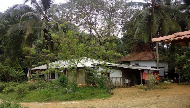
Mal Warusa Restaurant and Accommodation
Dehiowita Sri Lanka
contacts phone
:
+94
Latitude:
6.964264
, Longitude:
80.2622494
read more
nearest Lodging
218 m
Post Office
Dehiowita
Lodging
read more
1.54 km
Romik hotel
Avissawella-Hatton-Nuwara Eliya, Highway
Lodging
read more
1.591 km
Amarasa Hotel & Bakers
Sri Lanka
Lodging
read more
1.609 km
New Alibaba Hotel
Sri Lanka
Lodging
read more
2.151 km
Hotel Picturesque
#503,Tembiliyaya Estate, Dehiowita, Avissawella-Hatton-Nuwara Eliya Highway
Lodging
read more
3.206 km
Vithanage Hotel
Talduwa
Lodging
read more
3.282 km
Kanangama RockChalets
Avissawella-Hatton-Nuwara Eliya Highway
Lodging
read more
3.342 km
Lihini Gest House
Ihala Thalduwa Sri Isipathanaramaya, Avissawella-Hatton-Nuwara Eliya Highway, Talduwa
Lodging
read more
3.396 km
Sunday Park Hotel
Talduwa
Lodging
read more
3.894 km
Weerasinghe Hotel
Sri Lanka
Lodging
read more
3.927 km
Seethawaka Campsite
Kegalle
Lodging
read more
4.019 km
Kolonna Riverside Hotel
Yatiyanthota Road, Avissawella
Lodging
read more
4.025 km
D.S.D Hotel & Bakers
Kegalle
Lodging
read more
4.319 km
Belle Kasha
Warakathanna Road C3 Belle Kasha، Kegalle
Lodging
read more
4.93 km
Estate Bungalow Dangampola
Dehiowita
Lodging
read more
7.112 km
Hotel Rays Lanka
2/5 Avissawella Road, Avissawella
Lodging
read more
7.675 km
Amaana Hotel
Yatiyanthota - Magammana Road
Lodging
read more
8.808 km
Jilani Hotel
Mennanna
Lodging
read more
8.955 km
Banana Leaf Hotel
Sri Lanka
Lodging
read more
9.6 km
ක්ක්
Deraniyagala
Lodging
read more
10.649 km
Wijayanandana Hotel & Bakary
B457, Ruwanwella
Lodging
read more
11.643 km
Ranmin Bellair Banglow
Gatamawara Mawatha
Lodging
read more
13.491 km
NILOYA RESORT
Kegalle
Lodging
read more
15.378 km
Chalet's Hotel
Gampaha
Lodging
read more
15.466 km
Hotel Star Garden
15th KM Post, Meddegama, Hanwella Road
Lodging
read more
📑
all categories
Accounting
Administrative area level 1
Administrative area level 2
Airport
Amusement park
Aquarium
Art gallery
Atm
Bakery
Bank
Bar
Beauty salon
Bicycle store
Book store
Bowling alley
Bus station
Cafe
Campground
Car dealer
Car rental
Car repair
Car wash
Casino
Cemetery
Church
City hall
Clothing store
Colloquial area
Convenience store
Country
Courthouse
Dentist
Department store
Doctor
Electrician
Electronics store
Embassy
Finance
Fire station
Florist
Food
Funeral home
Furniture store
Gas station
General contractor
Grocery or supermarket
Gym
Hair care
Hardware store
Health
Hindu Temple
Home goods store
Hospital
Insurance agency
Intersection
Jewelry store
Laundry
Lawyer
Library
Light rail station
Liquor store
Local government office
Locality
Locksmith
Lodging
Meal delivery
Meal takeaway
Mosque
Movie rental
Movie theater
Moving company
Museum
Natural feature
Neighborhood
Night club
Painter
Park
Parking
Pet store
Pharmacy
Physiotherapist
Place of worship
Plumber
Point of interest
Police
Political
Post office
Premise
Real estate agency
Restaurant
Roofing contractor
Route
Rv park, camping
School
Shoe store
Shopping mall
Spa
Stadium
Storage
Store
Subpremise
Supermarket
Synagogue
Taxi stand
Train station
Transit station
Travel agency
University
Veterinary care
Zoo
administrative area level 3
sublocality level 1
sublocality level 2
↑